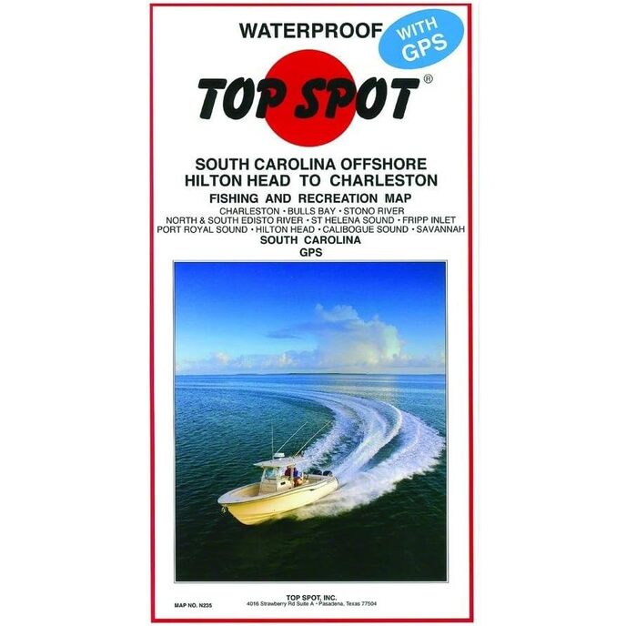
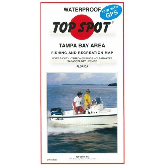
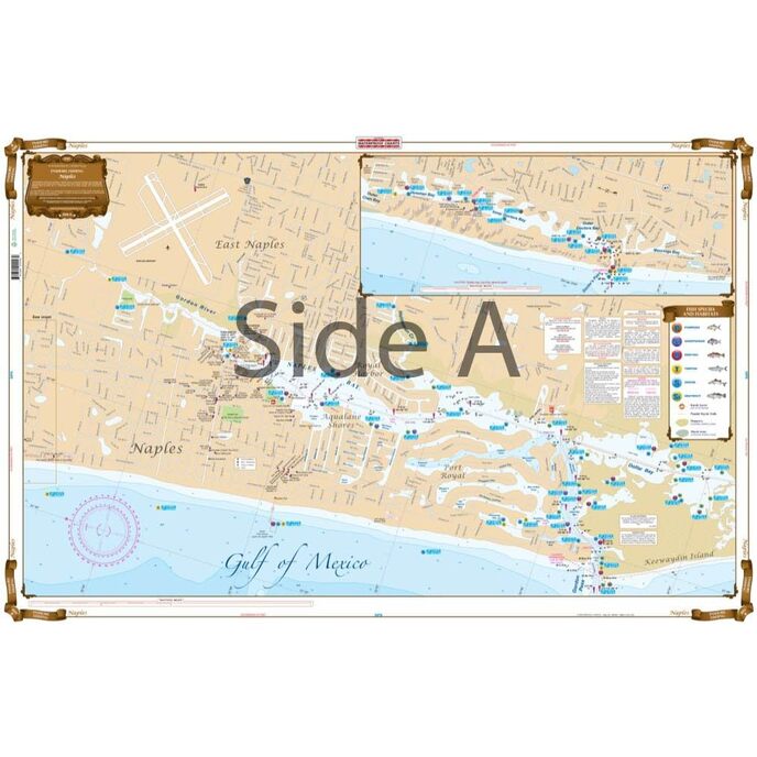
Αυτός ο χάρτης είναι τέλειος για τους τυπικούς υπαίθριους. Κορυφαίος χάρτης του Port Royal to St. Helena Sound.
EAN: 0737703002337
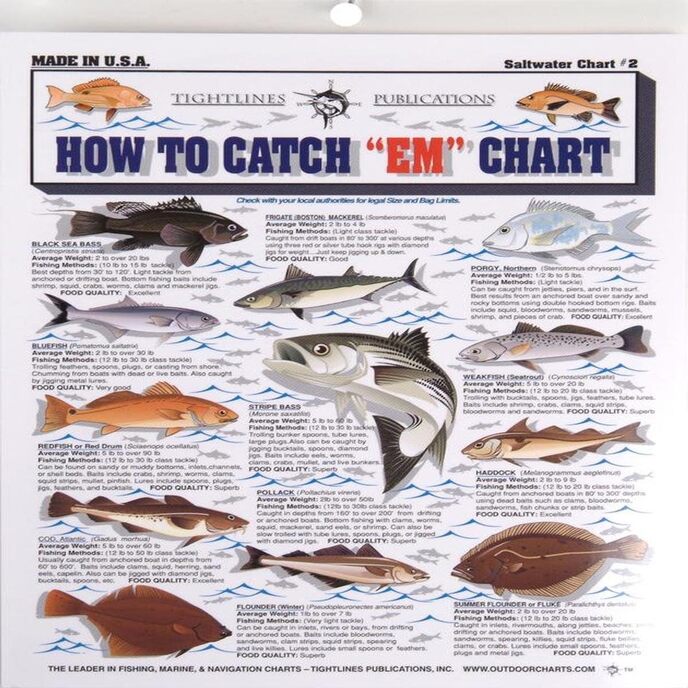
Κατηγορίες Αθλητισμός & Υπαίθριες δραστηριότητες, Κυνήγι & Ψάρεμα, Fishing, Διαγράμματα & Χάρτες,
| Brand Name | Topspot |
| Customer Reviews | 4.6 4.6 out of 5 stars 8 ratings 4.6 out of 5 stars |
| Item Package Dimensions L x W x H | 13.03 x 6.81 x 0.51 inches |
| Item Weight | 0.2 Pounds |
| Manufacturer | Top Spot |
| Package Weight | 0.11 Kilograms |
| Part Number | N233 |